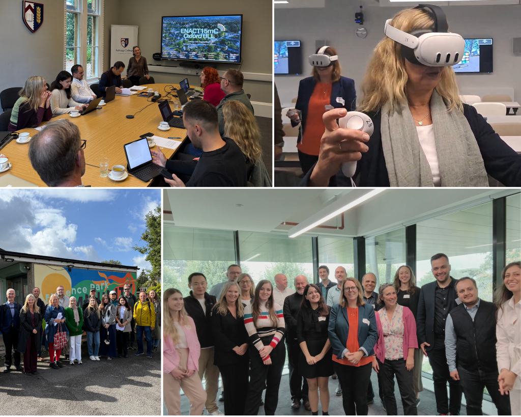
Oxford: Florence Park Neighbourhood
AR / VR Supported 15mC
The Oxford Urban Living Lab (ULL) aims to use Augmented Reality (AR) and Virtual Reality (VR) technologies to help communities understand and envision the possibilities created by the 15-minute-city (15mC) approach. The Oxford-based research team is focused on social inclusion and different ways that streets and public spaces can be used to support a more attractive, liveable, accessible and inclusive environment. The research team will take steps to include a variety of different perspectives on the design of neighbourhoods within the 15mC.
Over eighteen months, the research team will engage residents and stakeholders in the Florence Park neighbourhood in East Oxford and support them to:
- explore and understand the 15mC concept
- (re)envisioning how neighbourhoods could change from conduits for traffic to thriving and liveable streets
- use innovative AR/VR technologies to build consensus on the design of neighbourhoods within 15mC
- promote cross-cultural understanding by linking international partners in knowledge exchange activity that demonstrates ways of applying these innovative approaches for replicability and scalability
Co-Creation Process
Co-creative “workshops” using AR/VR visualisation
A diverse panel of community representatives and individuals will be recruited to represent different viewpoints about the 15mC concept. Realistic and immersive technologies will be available to stakeholders to help envisage possible design scenarios.

Workshop 1: Mapping Your Neighbourhood
This workshop includes an initial meeting with a group of community representatives and individuals from the Florence Park neighbourhood to introduce the concept of 15mC and explore the historic patterns of streets in the area.
Participants will take part in a participatory mapping exercise to propose ideas for improving the neighbourhood. A representative from the Oxford County Council may be invited to share strategies and plans for the area.

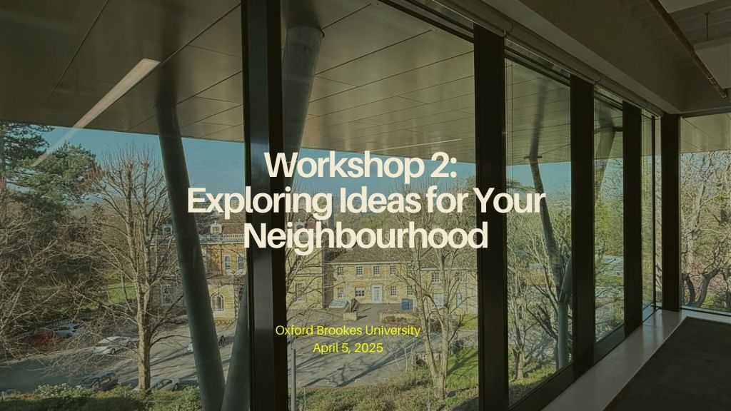
Workshop 2: Exploring Ideas for Your Neighbourhood
This workshop will present the outcomes of the participatory mapping exercise. Participants will learn how their ideas could be integrated into an AR/VR visualisation for the next workshop.
A representative from Sustrans will be invited to discuss their organisation’s work on community-led street design projects. The workshop will conclude with an introduction to VR tools at Oxford Brookes University’s Virtual Reality Cave.
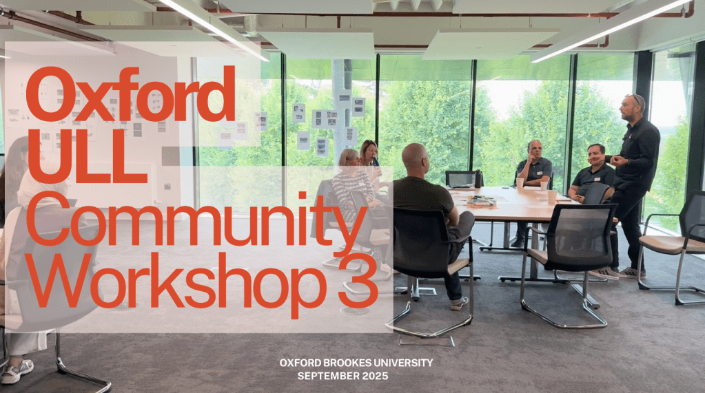
Workshop 3: Re-imagining Your Neighbourhood Using Digital Technology
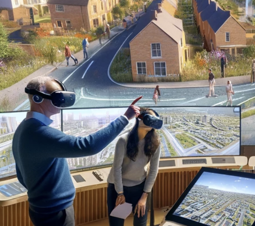
In this workshop, participants will test their proposed ideas using AR/VR technology. This will include feedback sessions, launching the AR app, and gathering ideas from local residents using the app. Participants may also visit the VR Cave to visualise urban interventions proposed in the previous workshop. VR Cave at Oxford Brookes University is a specialised space equipped with advanced technology that provides an immersive experience and replicates the real environment and the potential for change within it.
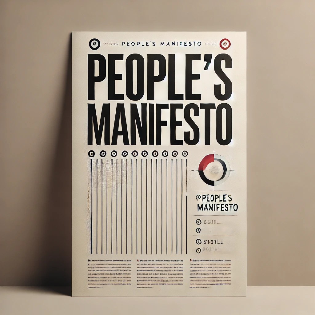
Workshop 4: People’s Manifesto
The results of previous workshops will be compiled into ‘A People’s Manifesto for the 15mC’, offering recommendations for future sustainable policies and projects.
This manifesto may be developed into a Policy Briefing in collaboration with Sustrans, with suggestions for Oxford City and County Councils.
ULL Activities
Oxford ULL Partners


Frequently Asked Questions
What does ENACT15mC stand for? ENACT15mC stands for “Envisioning Neighbourhoods and Co-Creating Thriving Communities in the 15-Minute City.” The project aims to explore how urban spaces can be transformed to support the 15-minute city concept, making neighbourhoods more liveable, sustainable, and connected.
What is an Urban Living Lab (ULL)? An Urban Living Lab (ULL) is a space where new ideas for urban living can be tested in real-world settings. It’s a collaborative effort, bringing together local residents, businesses, and other organisations to try innovative solutions to urban challenges. ULLs allow for experimentation, co-design, and testing of new approaches to make cities more sustainable and liveable.
What is the aim of the Oxford ULL? The Oxford ULL aims to explore how Virtual Reality (VR) and Augmented Reality (AR) technologies can be used to reimagine streets and public spaces. By using these innovative tools, the project will investigate how urban spaces can become more attractive, liveable, accessible, and inclusive for everyone.
Is there a specific site in Oxford? Yes, the Oxford ULL will focus on the Florence Park neighbourhood in East Oxford. We will work closely with local residents and stakeholders to envision how this area can transition from a space dominated by traffic to a thriving, liveable street environment using cutting-edge AR/VR technologies.
What is AR and VR? Augmented Reality (AR) layers digital content—like images, information, or 3D objects—on top of what you see in the real world. You can experience AR through devices such as smartphones or AR glasses. Virtual Reality (VR) takes you into a fully immersive digital environment. By using a headset, you can explore and interact with a virtual space that’s completely separate from the physical world around you.
What is a 3D asset library? A 3D asset library is a collection of digital models and objects that can be used in virtual environments. These 3D assets are useful for creating immersive experiences in things like augmented reality (AR) or virtual reality (VR), helping users interact with virtual versions of real-world objects or places.
What will happen after the workshops? The results and learning outcomes of the workshops will be compiled into a report, ‘A People’s Manifesto for the 15mC’ that will include recommendations to City and County Councils for future sustainable policy-making and project implementation. It will also be developed into a Policy Briefing. All the outputs from the project will be freely available. Moreover, the results will be disseminated through academic journal articles or conference presentations. There is no funding available to implement the suggested interventions. However, we will work closely with local authorities and share with them the research results so that the findings can be included in future neighbourhood plans and be used as a reference for future actions.
Who is organising and funding the research? This project is being funded by the Economic and Social Research Council (UK) and the Driving Urban Transitions (DUT) Partnership (European Commission). The research team are from Oxford Brookes University (School of the Built Environment) and the University of Oxford (Global Centre on Healthcare and Urbanisation, Kellogg College).
Where can I get more information? Please email nyardim-mericliler@brookes.ac.uk
